The past couple of weeks and using ARC GIS have probably been the toughest so far. It was not using GIS that was tough, because that was easy and user-friendly, it was more or less understanding the objective at first. As Bodenhamer says, “…we live in a physical world and routinely use spatial concepts of distance and direction to navigate our way through it” (14). Using GIS helped us to understand this. It allowed us to see the connection between Shamokin missions and Native Americans. It showed us how they were connected along the Susquehanna River and how the locations were interconnected.
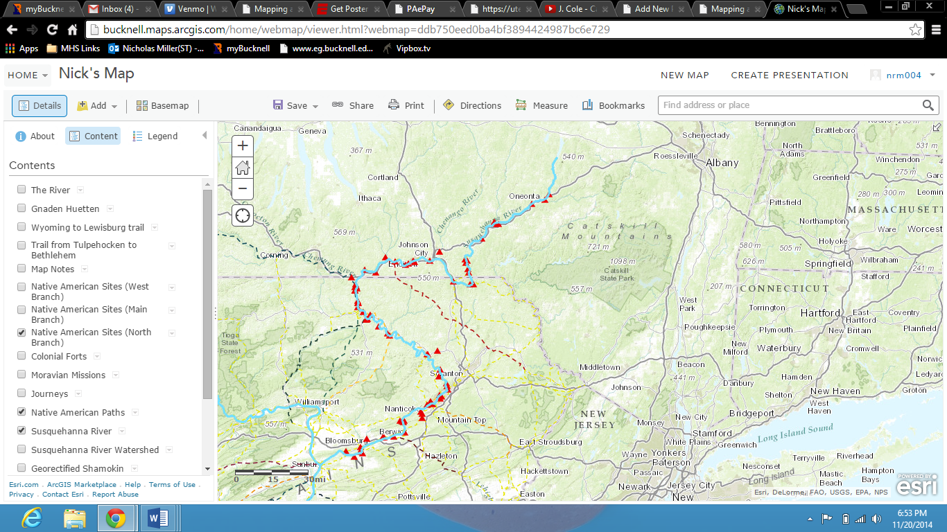
GIS also showed us how trails that people traveled during the Shamokin missions were very similar, and sometimes the same, as the paths that were traveled on by the Native Americans. This shows yet another way in which the people of this time period, specifically 1748, interacted. Bodenhamer later says, “An attractive and increasingly ubiquitous technology, Geographic Information Systems (GIS), suggests that the world indeed is flat, at least metaphorically, by offering a view of the physical environment seemingly stripped of its cultural assumptions”(16). This is what GIS did for us. It allowed us to see how these two separate societies interacted without any cultural assumptions being involved.
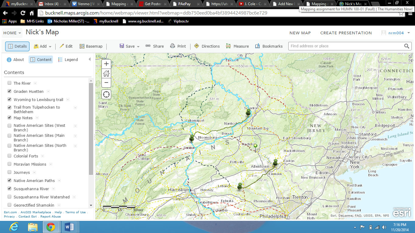
All in all, aside from just the relation between the Native Americans and Shamokin missions, GIS show us how we can use maps and spatial thinking to help understand the complexities and nuances of history. We are able to see how landmarks and and locations of that time period correlated to landmarks and locations of now. Some of them are the same while others are in different places geographically. Bodenhame writes, “We perhaps are most aware of these intellectual currents when we contrast them to once dominant–and still popular–notions of space in the American experience” (14). This is exactly what GIS does. Personally, I was able to see how where I live, Hershey, correlates to places like Shamokin and other paths traveled upon by Native Americans and people who Powell knew. So although it was a lesson plan that was tougher to understand, working with GIS gave us all a way to tell a story with maps and with our transcriptions. Below is the link to my personal GIS Story Map.
http://bucknell.maps.arcgis.com/apps/MapJournal/index.html?appid=d448885511464ffeadcce2bc27aa68a0&webmap=ddb750eed0ba4bf3894424987bc6e729