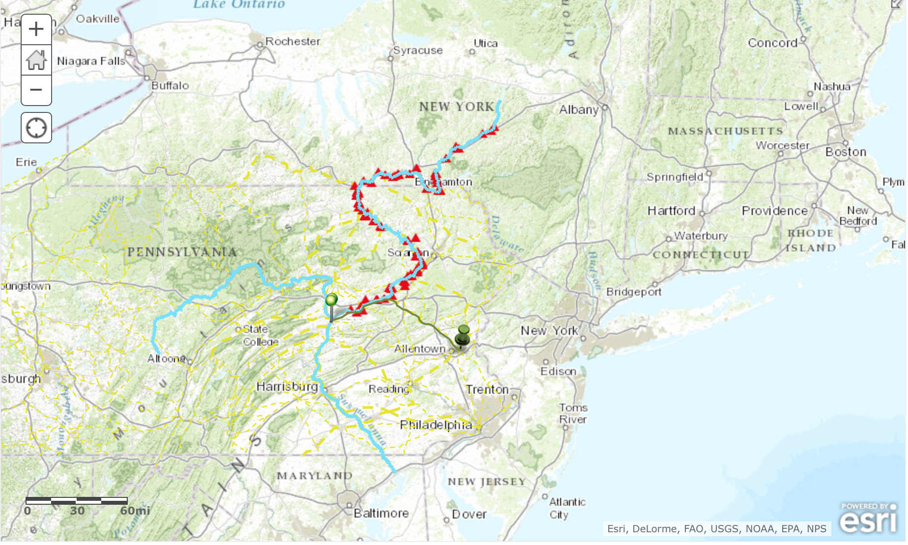
GIS stands for geospatial information system, a very useful system in which one can visualize, interpret and analyze a large sum of information. GIS can be used in many different ways, one way being a map in which one can layer information in an understandable and visually appealing way. The GIS map that displays the Shamokin mission as well as other Native American and Colonial peoples and settlements serves as a way in which we can draw connections between certain locations as well as native groups. GIS can be used to display or reconstruct historical events or places which is a very useful tool for many historians as well as students. Bodenhammer writes, “all spaces contain embedded stories based on what has happened there…these stories are both individual and collective and each of them link geography and history.” This idea of connecting space or geography with time is well displayed by the map created by Professor Faull and her students this past summer, as we are able to visually understand the relationship between Powell and the different Native American tribes. In the GIS map, Indian trails are displayed as well as colonial structures, forts, ferries, Moravian missions and Native American sites.
Through this geospatial representation, viewers are able to draw connections and further understand the relationships between certain groups over time. One criticism Bodenhammer makes is the idea that GIS suggests the world is flat, and that the maps can be stripped of their “cultural assumptions.” Although GIS only further emphasizes the importance of maps, as it demonstrates “vast quantities of data,” humanists run the risk of portraying the world in an uncritical manner. Lastly, Bodenhammer makes the claim that GIS are multimedia and multilayered, as we have discovered in class. Deep maps are continually “unfolding and changing” in response to shifts in data, new perspectives as well as new information. This can be viewed both as a positive or negative, however through GIS, we are able to draw many connections that we would otherwise be incapable of. The GIS we have been working on in class has furthered our understanding of the Powell diary, giving us a visual representation of where each group or individual lived and traveled to.