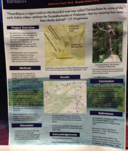
Today at 5 pm John and I visited the Conference for Humanities in the Terrace Room. We surveyed the different posters about digital visualization and various forms of digital humanities. There were a lot of interesting ideas being presented and it really opened my eyes to the realm of possibility that is associated with this subject. There are many opportunities to publish work in the categories we have learned about such as mapping, distant reading, contextual research and more. We stopped at Professor Faull’s stand and talked with her about her project that she did with student Henry Stann. Henry did research with Professor Faull this summer and couldn’t stop raving about his experience. What they did was they researched the histories of the surrounding counties to compile information about the Susquehanna River, in particular the West Branch. They recovered Joseph Shippen’s map of the Susquehanna from the Moravian Archives in Bethlehem, PA and used the Geographic Information System (GIS) to design a map with specific landmarks and important events that took place in the 1600s and 1700s. The research team also compiled a database of significant locations using the work of previous research students, thus having a lot to work with.

This research project is very similar to what we’re doing in class because we use the same methods to uncover more information about the Shamokin Indians and Susquehanna River. In our case, we use the Powell Diary as a reference point to what happened but we can also learn a lot about what the culture was like and how it has shaped the Susquehanna Valley today. We became proficient at close reading and using contextual research, and right now we are in the process of using GIS to create a more advanced map of the travels that were documented in Powell’s diary. What we are doing in class is efficient and relevant because it teaches how to effectively conduct research of any kind for the future.